
Firstly, Mark, many thanks for working on the sea polygon issue. I've found two problems with --generate-sea. One is relatively minor, the other a bit more of a problem. 1 (minor). If you use an options file via the mgkmap -c switch, the comma separated list of generate-sea sub-options cannot have any spaces, or you get an error generate-sea:polygons,no-sea-sectors works fine, but generate-sea:polygons, no-sea-sectors results in the error: Unknown sea generation option ' no-sea-sectors' Known sea generation options are: multipolygon use a multipolygon (default) polygons | no-mp use polygons rather than a multipolygon no-sea-sectors disable use of "sea sectors" land-tag=TAG=VAL tag to use for land polygons (default natural=land) 2 (major). If an island border has the tags natural=coastline boundary=administrative Then, using Mark Burton's style (or even the default style) these islands get flooded. Attached is a screenshot taken from the Geofabrik Italy extract showing the whole of Sicily flooded. Other islands that don't have a coastline containing a boundary=administrative tag are fine. The only way to stop the flooding is to remove the boundary=administrative rule completely. This is strange because as the natural=coastline rule occurs first (in both the default and in Mark's style) then the coastline should be set before any administrative boundary rule matches. -- Charlie

Hi Charlie,
Firstly, Mark, many thanks for working on the sea polygon issue.
You're welcome.
I've found two problems with --generate-sea. One is relatively minor, the other a bit more of a problem.
1 (minor). If you use an options file via the mgkmap -c switch, the comma separated list of generate-sea sub-options cannot have any spaces, or you get an error generate-sea:polygons,no-sea-sectors works fine, but
generate-sea:polygons, no-sea-sectors results in the error: Unknown sea generation option ' no-sea-sectors' Known sea generation options are: multipolygon use a multipolygon (default) polygons | no-mp use polygons rather than a multipolygon no-sea-sectors disable use of "sea sectors" land-tag=TAG=VAL tag to use for land polygons (default natural=land)
Yup, you can't have spaces in the option list as it is now.
2 (major). If an island border has the tags natural=coastline boundary=administrative
Then, using Mark Burton's style (or even the default style) these islands get flooded.
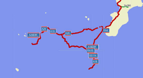
Attached is a screenshot taken from the Geofabrik Italy extract showing the whole of Sicily flooded. Other islands that don't have a coastline containing a boundary=administrative tag are fine.
The only way to stop the flooding is to remove the boundary=administrative rule completely. This is strange because as the natural=coastline rule occurs first (in both the default and in Mark's style) then the coastline should be set before any administrative boundary rule matches.
Could the problem be that those ways are referenced in a multipolygon and they are being deleted by the multipolygon processing? I am using a small patch that stops that from happening (it was posted to the list a while ago). Cheers, Mark
participants (2)
-
 Charlie Ferrero
 -
 Mark Burton