Problem with huge polygon - vänern sea - sweden

Hi all, I'm currently working on a map of sweden. I run into a problem concerning the vänern sea (between Vänersborg and Karlstad). This is an very huge polygon / sea - 10 times larger than the german/swiss Bodensee. Only a small part of the sea will be displayed on the as water: http://gis.19327.n5.nabble.com/file/n5710048/Bildschirmfoto_2012-05-24_um_13... Questions: - Has someone a working splitter / mkgmap configuration for sweden ? - I have set the splitter option "-overlap=10000" - could this be insufficient ? Regards Klaus -- View this message in context: http://gis.19327.n5.nabble.com/Problem-with-huge-polygon-vanern-sea-sweden-t... Sent from the Mkgmap Development mailing list archive at Nabble.com.

Am 24.05.2012 13:33, schrieb toc-rox:
Questions: - Has someone a working splitter / mkgmap configuration for sweden ? - I have set the splitter option "-overlap=10000" - could this be insufficient ? I have a working areas.list for hole scandinavia. Only Saimaa in the very east of Finnland is corrupted.
http://www.aighes.de/OSM/data/style.zip in directory data. Areas with 1200* are tiles of scandinavia. Tile 12000023 containing Iceland. Henning

On Thu, May 24, 2012 at 01:39:00PM +0200, aighes wrote:
Am 24.05.2012 13:33, schrieb toc-rox:
Questions: - Has someone a working splitter / mkgmap configuration for sweden ? - I have set the splitter option "-overlap=10000" - could this be insufficient ?
I have a working areas.list for hole scandinavia. Only Saimaa in the very east of Finnland is corrupted.
Have you tried merging my areas.list and osm2img.sh from http://www.polkupyoraily.net/osm/? I am not aware of Saimaa being broken with that. For what it is worth, Saimaa is divided into several multipolygons. Lake Päijänne is a single multipolygon. It could be bigger than any of the Saimaa multipolygons. I recently adjusted my areas.list a bit, so that all borders of Finland are included and that there is a little less "foreign" area included in the bounding boxes. I built Sweden last summer, but did not bother to fix all errors related to oneways, coastline, polygons or multipolygons. Marko
Am 26.05.2012 06:44, schrieb Marko Mäkelä:
On Thu, May 24, 2012 at 01:39:00PM +0200, aighes wrote:
Am 24.05.2012 13:33, schrieb toc-rox:
Questions: - Has someone a working splitter / mkgmap configuration for sweden ? - I have set the splitter option "-overlap=10000" - could this be insufficient ? I have a working areas.list for hole scandinavia. Only Saimaa in the very east of Finnland is corrupted. Have you tried merging my areas.list and osm2img.sh from http://www.polkupyoraily.net/osm/? I am not aware of Saimaa being broken with that.
For what it is worth, Saimaa is divided into several multipolygons. Lake Päijänne is a single multipolygon. It could be bigger than any of the Saimaa multipolygons.
I recently adjusted my areas.list a bit, so that all borders of Finland are included and that there is a little less "foreign" area included in the bounding boxes. I'll try this, maybe I can create a working areas.list for hole scandinavia.
I'm not absolutely sure, that Saimaa is causing my problems. I had only in mind, that this lake mainly causes such errors. I'll check this in detail. Henning
Sorry for my late answer... I fixed my areas.list of scandinavia and it should work now also with the huge lakes of Finland and Corinne-Data. Marko, I think you don't use them, do you? Henning Am 26.05.2012 09:45, schrieb aighes:
Am 26.05.2012 06:44, schrieb Marko Mäkelä:
On Thu, May 24, 2012 at 01:39:00PM +0200, aighes wrote:
Am 24.05.2012 13:33, schrieb toc-rox:
Questions: - Has someone a working splitter / mkgmap configuration for sweden ? - I have set the splitter option "-overlap=10000" - could this be insufficient ? I have a working areas.list for hole scandinavia. Only Saimaa in the very east of Finnland is corrupted. Have you tried merging my areas.list and osm2img.sh from http://www.polkupyoraily.net/osm/? I am not aware of Saimaa being broken with that.
For what it is worth, Saimaa is divided into several multipolygons. Lake Päijänne is a single multipolygon. It could be bigger than any of the Saimaa multipolygons.
I recently adjusted my areas.list a bit, so that all borders of Finland are included and that there is a little less "foreign" area included in the bounding boxes. I'll try this, maybe I can create a working areas.list for hole scandinavia.
I'm not absolutely sure, that Saimaa is causing my problems. I had only in mind, that this lake mainly causes such errors. I'll check this in detail.
Henning
_______________________________________________ mkgmap-dev mailing list mkgmap-dev@lists.mkgmap.org.uk http://www.mkgmap.org.uk/mailman/listinfo/mkgmap-dev
On Sun, Jun 24, 2012 at 07:22:56PM +0200, aighes wrote:
I fixed my areas.list of scandinavia and it should work now also with the huge lakes of Finland and Corinne-Data. Marko, I think you don't use them, do you?
I do use the Corine data, and occasionally I fix bugs that are caused by editing the huge multipolygons. Someone broke Lake Päijänne lately, and mappers have been misusing natural=coastline for non-sea islands. I hope that I will be able to update my compiled Garmin map in the next few days. Marko
First of all thanks to Marko and Henning for providing their (manually created) areas.list files. The problem occurs if one lets splitter create its own areas.list file. That's exactly what I do (and what I currently would not change). The same problem is discussed here: http://gis.19327.n5.nabble.com/Still-problems-with-lakes-td5725668.html I hope that GerdP could find a solution for the problem in the near future ... Regards Klaus -- View this message in context: http://gis.19327.n5.nabble.com/Problem-with-huge-polygon-vanern-sea-sweden-t... Sent from the Mkgmap Development mailing list archive at Nabble.com.
On Tue, Sep 18, 2012 at 08:06:43AM -0700, toc-rox wrote:
First of all thanks to Marko and Henning for providing their (manually created) areas.list files.
You're welcome. There was some breakage in Lake Saimaa (Haukivesi) that I just fixed. Someone had removed a large section of coastline. While fixing it, I created some separate natural=bay polygons or multipolygons for bays. I also improved the precision of some polygons, thanks to higher-resolution Bing images that were recently made available. I don't think that it is feasible to do precompiled waters, at least not without some area filter (discard too small areas). Marko

----- There was some breakage in Lake Saimaa (Haukivesi) that I just fixed. Someone had removed a large section of coastline. While fixing it, I created some separate natural=bay polygons or multipolygons for bays. I also improved the precision of some polygons, thanks to higher-resolution Bing images that were recently made available.
Where can I download your areas.list? Maybe I have missed the post with the link.
On Tue, Sep 18, 2012 at 09:53:04PM +0200, RheinSkipper wrote:
Where can I download your areas.list? Maybe I have missed the post with the link.
http://www.polkupyoraily.net/osm/ I have not edited the areas.list for a long time. I also have a logging.ignore file for suppressing known issues (mostly broken data, such as incomplete boundary=administrative multipolygons, or too precise data). I will update my map later this week, once I am happy with the amount of mkgmap warnings. I was unable to validate the map for some time. The Geofabrik extracts were not updated for about a week, from Saturday to last Saturday. Marko
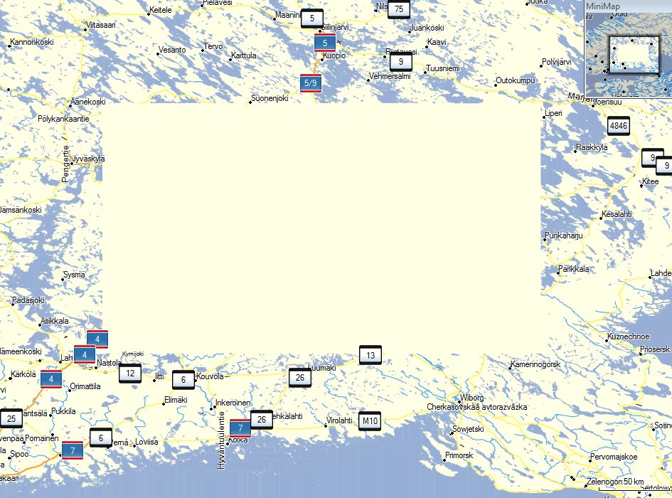
Thank you. But this areas.list is just for Finland. It will not work for me as I need one for the whole Geofabrik Europe extract. I also tried the one from Henning. As you can see on the screenshot the whole Saimaa area is blank using his areas.list.
I'm sorry for this. I had forgotten to replace the online-version with a newer version of areas.list. It's replaced now and works fine for me. For hole Europe you should better generate a areas.list-File with splitter and then try to change the tile-coords manually. Henning
participants (4)
-
 aighes
 -
 Marko Mäkelä
 -
 RheinSkipper
 -
 toc-rox