
[This post was too big, I've reduced the size of the image and forwarded this back to the list, ..Steve] -------- Original Message -------- Subject: Routing issue Date: Wed, 1 Jun 2011 22:49:31 -0400 From: Nakor Osm <nakor.osm@gmail.com> To: Development list for mkgmap <mkgmap-dev@lists.mkgmap.org.uk> Hello, I have a tile from splitter that have coordinates 10000007: 2174976,-3282944 to 2240512,-3196928 # : 46.669922,-70.444336 to 48.076172,-68.598633 I compiled it with the following options: java -ea -Dlog.config=logging.properties -jar mkgmap.jar --route --description="OSM test map minimal" --mapname=99999999 10000007.osm.gz java -ea -Dlog.config=logging.properties -ja mkgmap.jar --family-id=9999 --series-name="OSM Test Maps minimal" --family-name="OSM Test Maps minimal" --overview-mapname=Test_minimal --tdbfile --nsis 99999999.img Once loaded in Mapsource routing "jumps" (see attached screenshot) when trying between N47 35.554 W69 44.684 and N47 31.697 W69 49.760 Is this a bug in mkgmap? Thanks, N.

Interestingly enough if I just keep the highways then the routing issues are gone. Are there any other objects besides the highway=* ones that would generate routable data and be the cause of the issue? On Thu, Jun 2, 2011 at 9:10 AM, Steve Ratcliffe <steve@parabola.me.uk>wrote:
[This post was too big, I've reduced the size of the image and forwarded this back to the list, ..Steve]
-------- Original Message -------- Subject: Routing issue Date: Wed, 1 Jun 2011 22:49:31 -0400 From: Nakor Osm <nakor.osm@gmail.com> To: Development list for mkgmap <mkgmap-dev@lists.mkgmap.org.uk>
Hello,
I have a tile from splitter that have coordinates
10000007: 2174976,-3282944 to 2240512,-3196928 # : 46.669922,-70.444336 to 48.076172,-68.598633
I compiled it with the following options:
java -ea -Dlog.config=logging.properties -jar mkgmap.jar --route --description="OSM test map minimal" --mapname=99999999 10000007.osm.gz java -ea -Dlog.config=logging.properties -ja mkgmap.jar --family-id=9999 --series-name="OSM Test Maps minimal" --family-name="OSM Test Maps minimal" --overview-mapname=Test_minimal --tdbfile --nsis 99999999.img
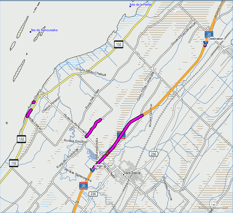
Once loaded in Mapsource routing "jumps" (see attached screenshot) when trying between N47 35.554 W69 44.684 and N47 31.697 W69 49.760
Is this a bug in mkgmap?
Thanks,
N.
_______________________________________________ mkgmap-dev mailing list mkgmap-dev@lists.mkgmap.org.uk http://www.mkgmap.org.uk/mailman/listinfo/mkgmap-dev
Now this is getting interesting. The problems seems to come from the waterways. If I filter out the waterways from the input file using osmosis, routing is fine. Similarly if I remove the waterway lines from my the default style file, routing in file. Oppositely if using osmosis I generate an input file containing only highways and waterways routing is broken. Anybody would have an idea why this happens? Thanks, N.

On Thu, Jun 02, 2011 at 06:58:29PM -0400, Nakor Osm wrote:
Oppositely if using osmosis I generate an input file containing only highways and waterways routing is broken.
Anybody would have an idea why this happens?
Could your tile be too big? In my experience, mkgmap will happily create and merge tiles of 30 or 40 megabytes without emitting warnings, but routing can get broken. I try to limit my map tiles to at most 20 megabytes each. Best regards, Marko
On Fri, Jun 03, 2011 at 08:04:39AM -0400, Nakor Osm wrote:
The tile is 15.6 Mb gzipped but I can surely give it a try.
I was referring to the .img file size. The input tile (.osm.gz) sizes in my case seem to be up to twice the output tile (.img) size. The relation of course depends on the map data and the translation rules. Also, it is probably not the .img file size that is causing the problem, but it could be some table overflow within the .img file. I am just guessing; a couple of times within the past two years I have been bitten by too big .img files breaking routing. Marko
Marko, That indeed helped. The problem is not to get to small because of the routing across tiles inssues. And there are some areas like downtown Ottawa where I just cannot get proper routing even with pretty small tiles. Thanks, N.
On Fri, Jun 03, 2011 at 07:28:05PM -0400, Nakor Osm wrote:
That indeed helped. The problem is not to get to small because of the routing across tiles inssues.
OK, someone in the know should perhaps spend some time trying to figure out which data structure is overflowing or which limitation of Garmin software is being exceeded.
And there are some areas like downtown Ottawa where I just cannot get proper routing even with pretty small tiles.
Have you checked the map data? About a year ago, when I was fixing broken roundabouts and oneways in Finland, I came across a downtown street grid area where almost all junctions were missing. I added junction nodes at the intersections of ways. Feel free to take this suggestion with a grain of salt. There are not that many or large densely built areas in Finland. Best regards, Marko
participants (3)
-
 Marko Mäkelä
 -
 Nakor Osm
 -
 Steve Ratcliffe