
14 Feb
2010
14 Feb
'10
10:53 p.m.
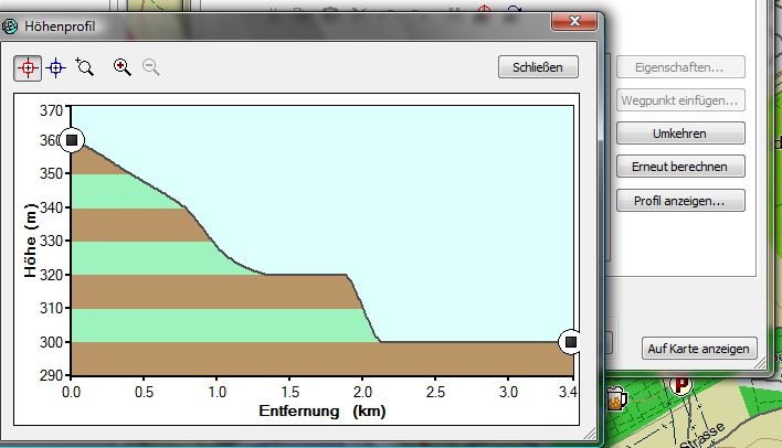
Hi, there seems to be a way to show elevation profiles for a route without having the DEM subfiles stored in the map. There is a byte in TDB file's header section which can be set to 1. If set MapSource generates the profile from the contour lines. The result is not as good as having the full information from DEM subfiles but better than nothing. Please try this patch, especially with maps without contour lines. Maybe setting this flag has to be bound to existing contour lines. Ronny