
El 10/01/18 a las 09:54, Gerd Petermann escribió:
Hi all,
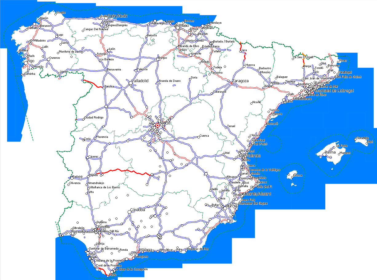
I think that the bounding polygon given with option --dem-poly should be also be used in the precomp-sea option, so that mkgmap doesn't generate sea polygons outside of the bounding polygon. With the current code a map of e.g. scandinavia looks strange, see attached picture. I think that could also lead to stranger results, see attached screenshots, one from JOSM showing my spain.poly and other one from MapSource showing resulting map. I would prefer to show sea as currently rather than cut by spain.poly. Anyway, that could be an option, the same than currently we have --no-trim in splitter to get right the opposite effect.
In a further step I should try to use that polygon also for the background polygon (0x4B) and other data. In a final step we might be able to use it for routing data so that you can split maps at left-driving / right-driving boundaries, but that needs more thinking. Splitting maps at left/right driving boundaries or country boundaries would really be a great improvement.
I've not coded anything yet, but I wonder if the option should be changed from dem-poly to e.g. --polygon-file or --bounding-polygon.
Gerd