
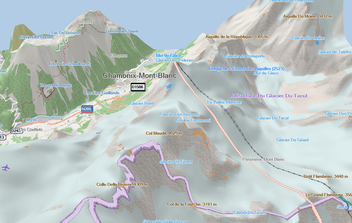
Hi Joris, would be interesting to know what original Garmin (non-NT) maps show in this situation. I did not find a tunnel in the Adria Topo Demo map but I did not invest much time for the search. See also http://gis.19327.n8.nabble.com/what-do-the-0x4a-polygon-in-the-mean-tp591013... I am not aware of any flag in the *.img format that could be used to mark a tunnel as such, but maybe it exists and nobody found it until now. Gerd ________________________________________ Von: mkgmap-dev <mkgmap-dev-bounces@lists.mkgmap.org.uk> im Auftrag von Joris Bo <jorisbo@hotmail.com> Gesendet: Sonntag, 13. Januar 2019 09:57 An: Development list for mkgmap Betreff: [mkgmap-dev] Hide tunnels and other features in basecamp 3D mode Hello I added the DEM / Hillshading to my maps. If I set basecamp to show in 3d you get very nice results ! Thx for all the work done there. Is there an option to tag certain elements to be hidden in (basecamp) 3D modus? For example the Mont Blanc Tunnel goes straight up to the to the top 😊 [cid:image001.png@01D4AB26.4D264E50]