
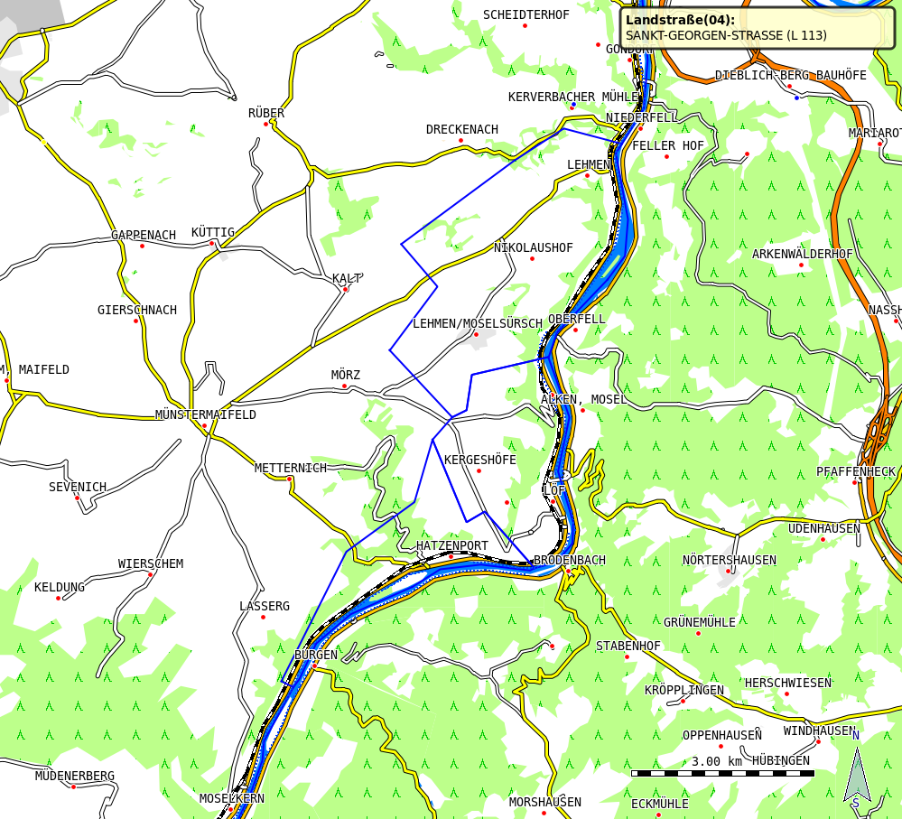
Screenshot attached. Am 07.10.2010 11:23, schrieb Josef Latt:
Hi,
one of the river (tracks Rhein) where the boundaries, shown as river, starts has two ways. One with tag boundary and waterway=river, the other only with waterway=river. The other one (tracks Mosel) has one way with tag boundary and waterway=river.
In the first case I removed the tag waterway=river from the way with tag boundary. This resolves the problem for this river. Therefore you can see the false behaviour only at the tracks Mosel.
Greetings Josef
Am 04.10.2010 17:55, schrieb Josef Latt:
Hi,
I have in my card no boundaries selected. Since mkgmap-r1707 some boundaries are shown as riverin QLandkarte GT. I have created some tracks which show this behaviour. Mkgmap-r1625 is o.k.
You can download the tracks from here:
http://www.dateihosting.de/file/details/172603/Pseudofluesse.gpx
Greetings Josef _______________________________________________ mkgmap-dev mailing list mkgmap-dev@lists.mkgmap.org.uk http://www.mkgmap.org.uk/mailman/listinfo/mkgmap-dev
_______________________________________________ mkgmap-dev mailing list mkgmap-dev@lists.mkgmap.org.uk http://www.mkgmap.org.uk/mailman/listinfo/mkgmap-dev