
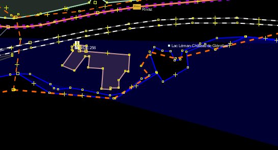
Hi Gert I did it manually (downloaded rectangle after rectangle of the border line in josm, until I found the wrong part (see attachment)). A better and faster approach would be a query on the osm data base. Example script to use on overpass-turbo.eu - Execute this script with a partial view of lake geneva on the map: /* This shows the border line of lake geneva in overpass-turbo.eu */ [out:json]; ( relation[name='Lac Léman']({{bbox}})->.cr; ); out body;
;
out skel qt; Then you click inside and the area of the multipolygon will be filled (don't know how it looked before the fix ;-) I don't understand the details of the query yet and did't things like this before, but I sure will use it in the future - while refining my map style Regards, Hanspeter Von: thesurveyor@wolke7.net [mailto:thesurveyor@wolke7.net] Gesendet: Montag, 5. Januar 2015 12:23 An: mkgmap-dev@lists.mkgmap.org.uk Betreff: Re: [mkgmap-dev] Lake Geneva is dry - fixed Thank you very much, Hanspeter I'll download the new file next night and rebuild my map. I'll keep you informed about the result. One more question about that: how did you find the corrupt multipolygon? I'm currently not able to find such things, but perhaps if I get some hints how to do that, I can learn it :-) Regards, Gert