
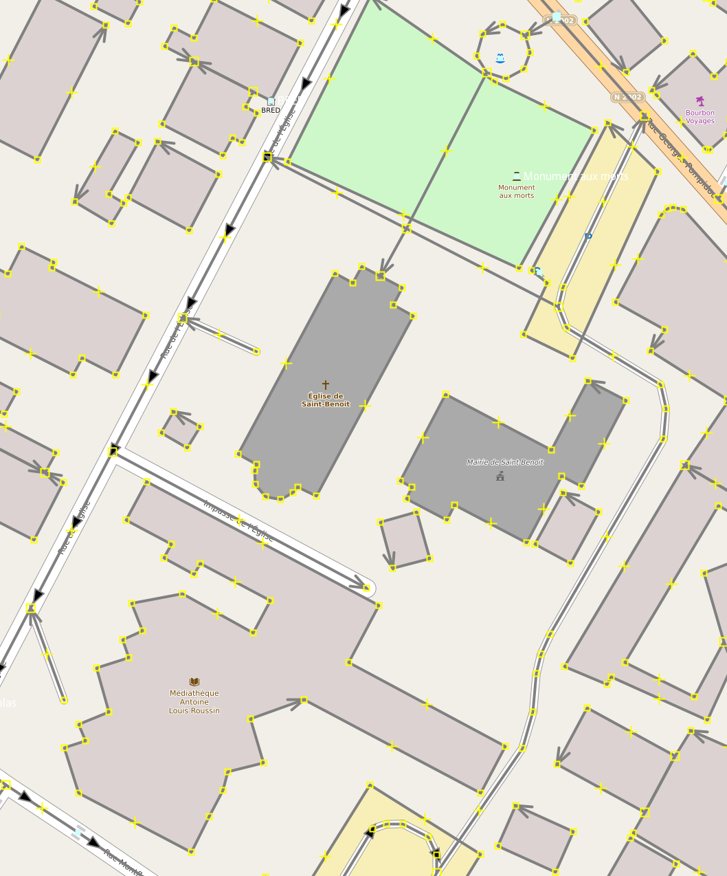
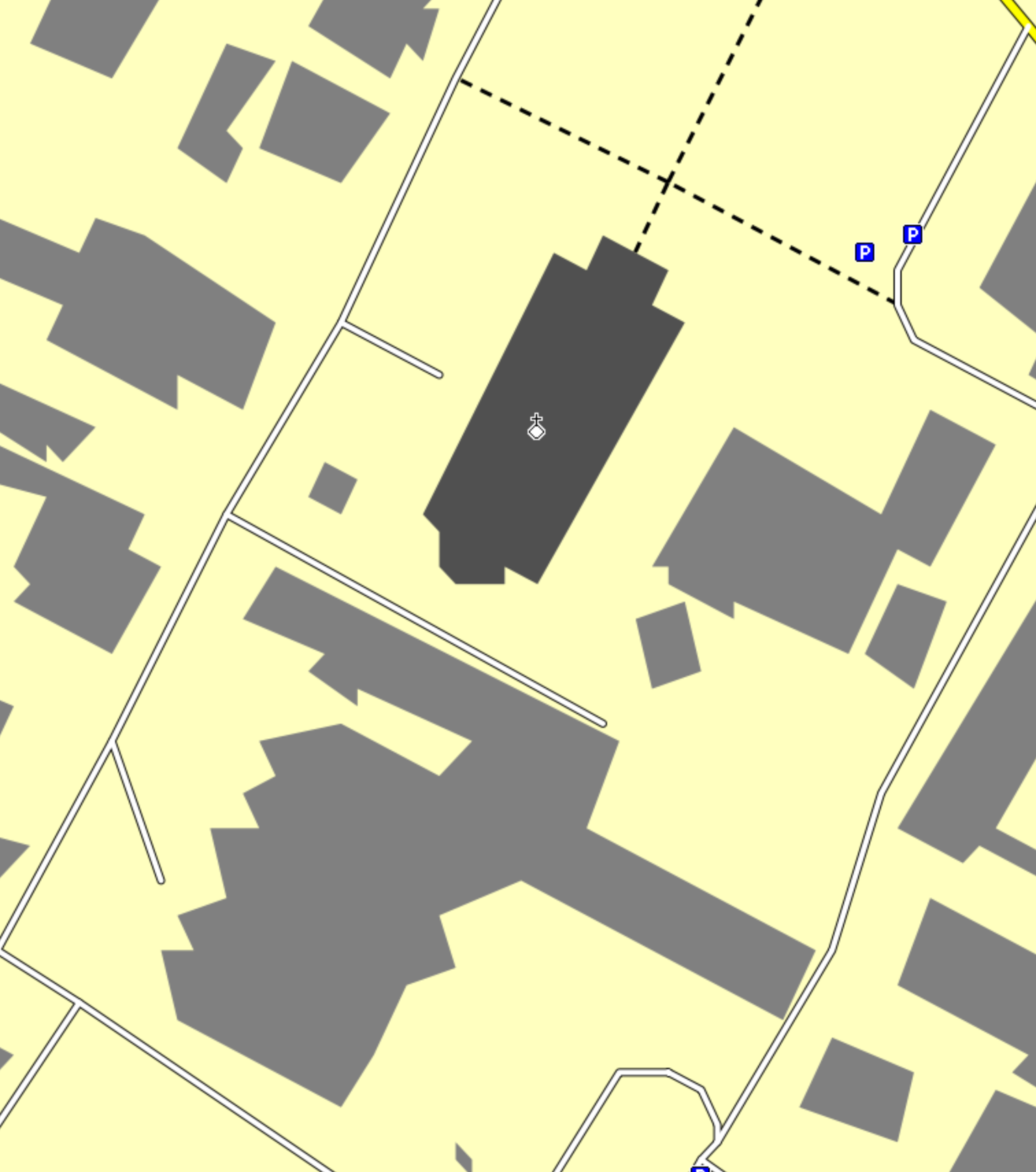
Hi Alexis, OSM uses a resolution close to 1cm, the Garmin IMG format is somewhere ~2.3 m with the maximum resolution 24. So, you have to accept that details are distorted or even ignored if they are rendered as a single point. See also https://www.mkgmap.org.uk/pipermail/mkgmap-dev/2017q3/027046.html ciao, Gerd ________________________________________ Von: mkgmap-dev <mkgmap-dev-bounces@lists.mkgmap.org.uk> im Auftrag von Alexis Lecanu <alexis.lecanu.garmin@gmail.com> Gesendet: Freitag, 21. Januar 2022 08:52 An: mkgmap-dev@lists.mkgmap.org.uk Betreff: [mkgmap-dev] Polygon deformation Hello, I'm contacting you because I can't understand why my polygons are deformed, I tried to find the options that could be the cause but nothing affects the polygons. Is it wanted directly in the algo? I see that simple shapes like a rectangle can become a triangle or a more complex polygon, it's a shame for the readability. Thank you in advance for your answer. [cid:0B4EB1A7-B5DE-4AF8-A746-363C688E64D1] [cid:CEC9CFB5-15BE-461C-8C20-7BAF5F2C8FA8] ---- Alexis LECANU https://www.facebook.com/Garmin-Connect-App-Alexis-Lecanu-395326794312827 If you want to pay me a beer to thank me: https://ko-fi.com/alexislecanu