
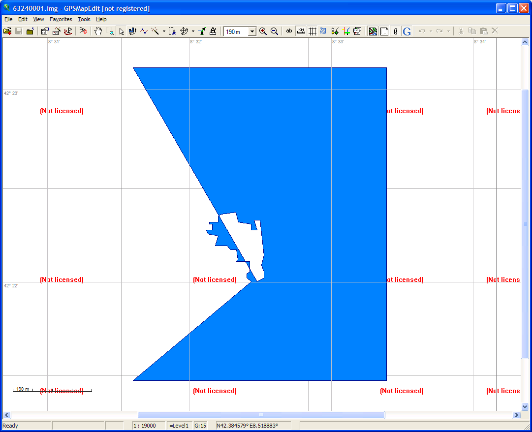
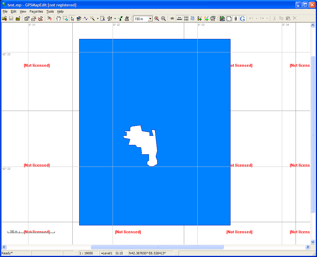
Dear all, I still have the feeling that the cause of the problems with multipolygons may be due to the representation of "polygons with holes" in the img file. If I'm not mistaken, the multipolygon code connects the inner and outer polylines forming the multipolygon which either leads to spurious lines ("triangles", see sea polygons in mp-mode) or to vanishing inner polylines. Is this really the correct representation of "polygons with holes" in the img file? BTW: There is also still a problem with the rendering of polygons with holes in the polish format. The attached mp-file is displayed correctly in gpsmapedit, but the generated img file is broken. The polish format seems to add "inner" polygons as extra data lines, but these additional lines are not handled in a special way. Best wishes Christian