
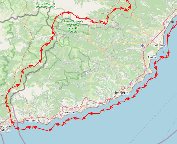
Hello Bernd In attached you can find the script I use for both Osmconvert (first) and Splitter (second), with the running log. To cut off the data I use poly files downloaded from : http://download.openstreetmap.fr/polygons/europe/italy/ They have a poly for each italian region and there is a overhang over all the edges: it's pretty large, much larger than geofabrik's. For example: [cid:5082990f-330b-4092-be73-d17917e348a6] What is very strange is that I get the empty area or artefacts right over the region bounds or just inside them, not outside where the poly file cuts it. Thank you for any help: this thing is driving me crazy !!! 🙁 Diego
Hi Diego
can you tell us the options of your tools, especially for Splitter.
Did you use you shape files to cut off the data?
BTW: i cut my DEM files with the polygone files from the Geofabrikm they have a small overhang the edges, that prevent data loses.
Bernd
Da: mkgmap-dev <mkgmap-dev-bounces@lists.mkgmap.org.uk> per conto di mkgmap-dev-request@lists.mkgmap.org.uk <mkgmap-dev-request@lists.mkgmap.org.uk> Inviato: lunedì 10 aprile 2023 11:00 A: mkgmap-dev@lists.mkgmap.org.uk <mkgmap-dev@lists.mkgmap.org.uk> Oggetto: mkgmap-dev Digest, Vol 177, Issue 2 Send mkgmap-dev mailing list submissions to mkgmap-dev@lists.mkgmap.org.uk To subscribe or unsubscribe via the World Wide Web, visit https://www.mkgmap.org.uk/mailman/listinfo/mkgmap-dev or, via email, send a message with subject or body 'help' to mkgmap-dev-request@lists.mkgmap.org.uk You can reach the person managing the list at mkgmap-dev-owner@lists.mkgmap.org.uk When replying, please edit your Subject line so it is more specific than "Re: Contents of mkgmap-dev digest..."