
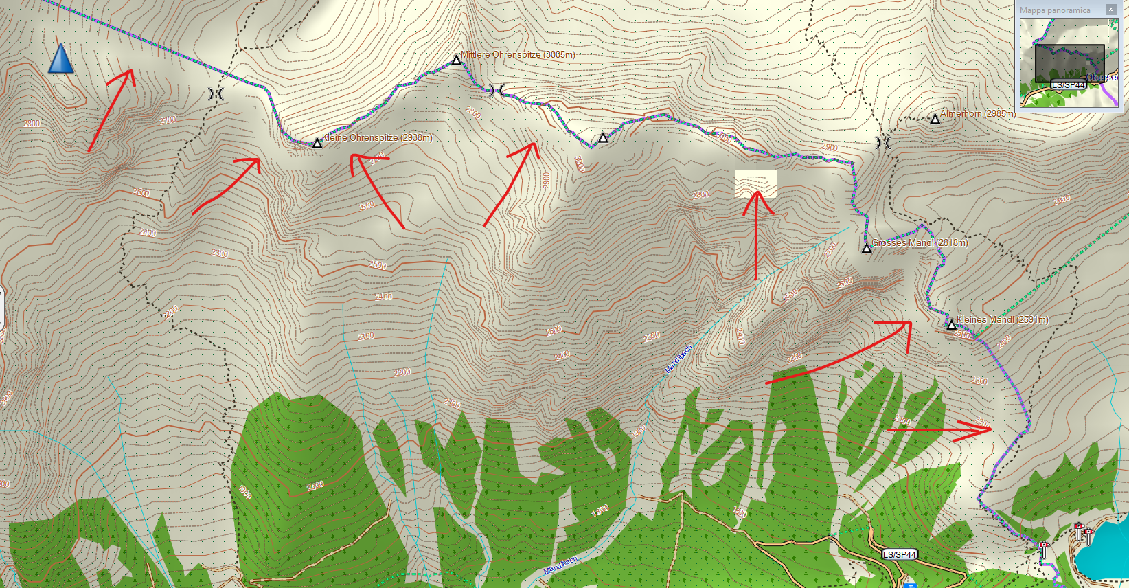
Hello guys I don't know if this is the right place to ask: please forgive me if not and delete my request. I have a problem with contours, generated from DEM HGT files, downloaded both from Nasa and Viewfinder, and tried with different Douglas-Peucker values. I get empty spaces in some areas of the map, close to the state/region border, and squares with no DEM data, as you can see in this picture (this is the north part of Trentino Alto Adige, north of Italy): [cid:7f488b98-a01f-4538-bd2a-fe8ca3b4d4fa] I use HGT2OSM and OSMCONVERT to process all HGTs and obtain a single OSM file, the I split it with the Splitter. Then I merge everything in a single IMG file with MKGMAP. Do you know what could be the reason of this problem and how to solve ? Thank you in advance for all your help Regards, Diego