
El 26/11/12 15:45, GerdP escribió:
Hi all,
I've just committed r247. Changes: - added parameter --polygon-file to specify a bounding polygon. The polygon is only used when the tiles are calculated, it is NOT used when the real split process runs. - performance improvements in the new split algorithm
The polygon file format is that of osmosis, I've simply added the osmosis sources: http://wiki.openstreetmap.org/wiki/Osmosis/Polygon_Filter_File_Format
I hope that is the right way to do it.
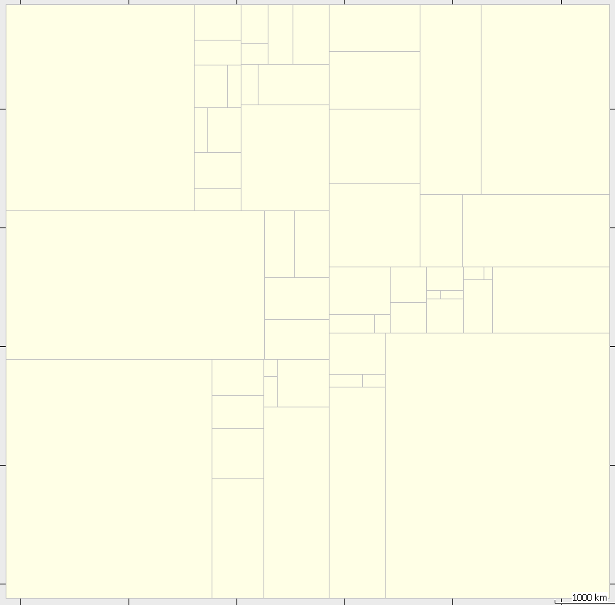
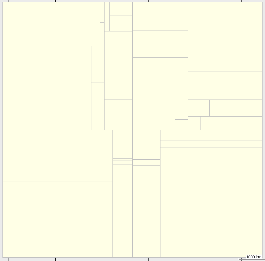
The polygon is only used when no split-file is given. It is used when all nodes were read. In this first pass, splitter fills a grid with node counts. Instead of filtering each node (which would take much too much cpu time), splitter simply uses the polygon to set those grid counts to 0 (zero) which do not intersect with the polygon. When that is done, splitter calculates the tiles. I have just used r247 to produce a map of South America and noticed that although it results in an smaller number of tiles for the same max-nodes, tiles aspect ratio is not optimal (see screenshots). r247: java -Xmx1500M -jar splitter-pl.jar --keep-complete --overlap=0 --max-nodes=1000000 --no-trim --geonames-file=cities15000_AME.zip --mapid=55139001 south-america.osm.pbf 48 tiles, 474.3 MB resulting img's r202: java -Xmx1500M -jar splitter.jar --overlap=3000 --max-nodes=1000000 --no-trim --geonames-file=cities15000_AME.zip --mapid=55139001 south-america.osm.pbf 56 tiles, 475.3 MB resulting img's