
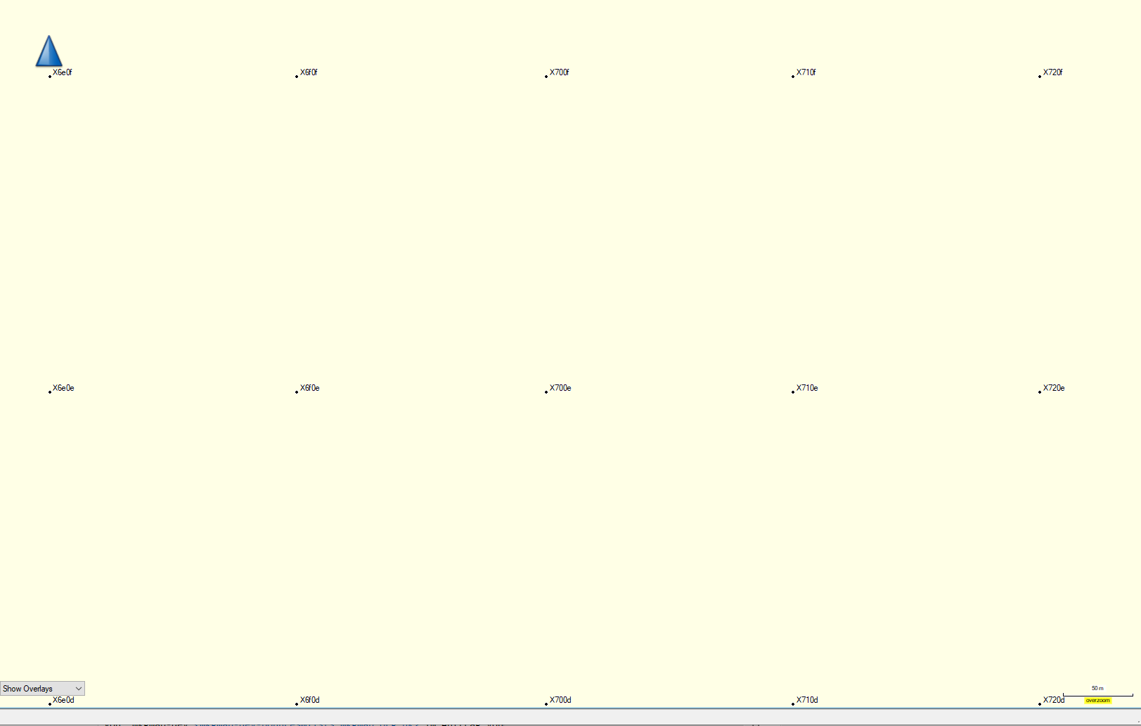
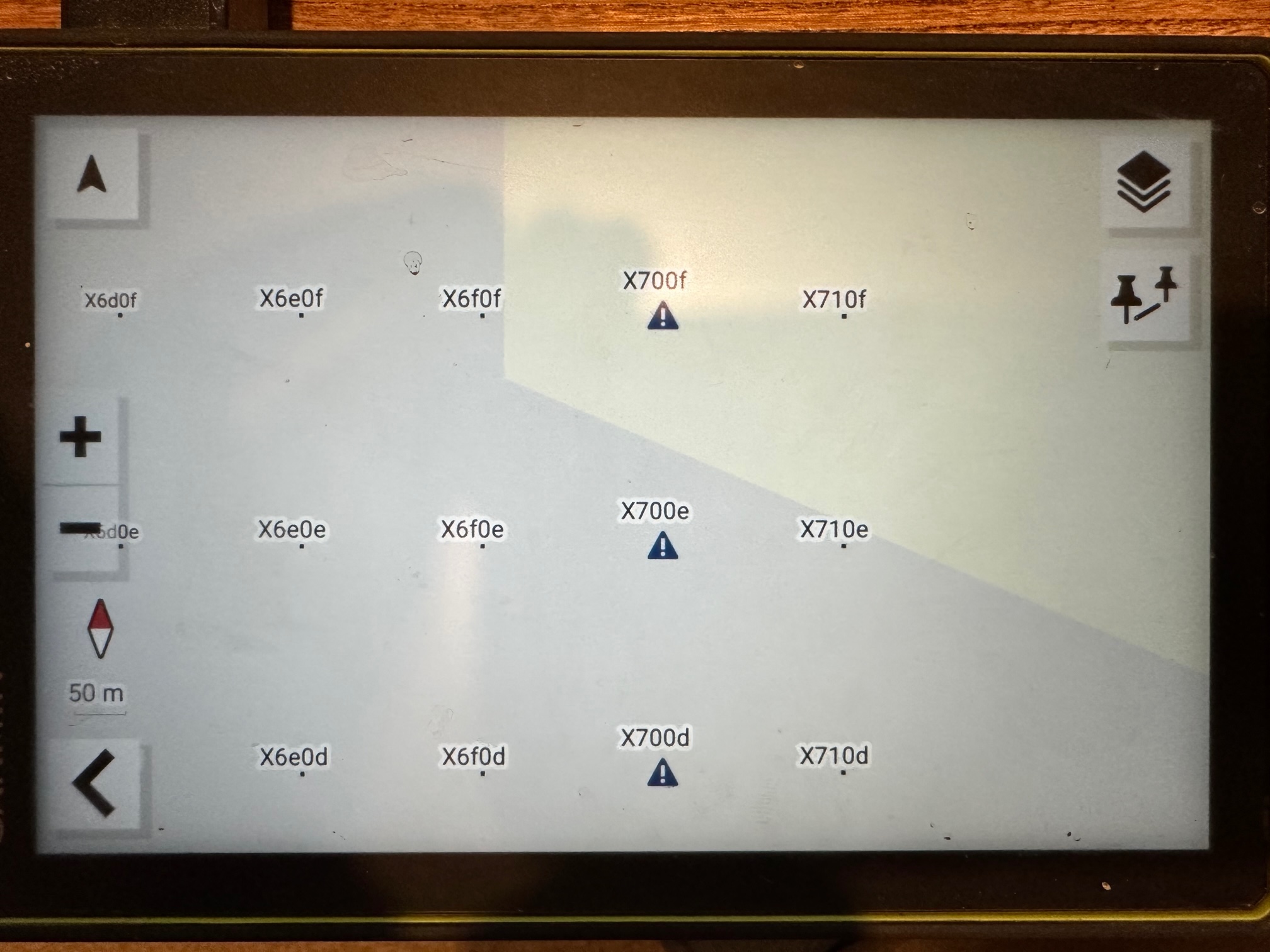
Ok, so first of all. I feel dumb... I cannot believe I've read through that page so many times and never realised that option was available. I've been looking for something like this for ages... First testing tells me that the Tread needs a complete rework of my style and typ file. I've managed to get a POI icon to be displayed as expected by using one of the icons that the Tread is displaying using the "debug" map from mkgmap. Here is a screenshot of the icons in Basecamp vs the icons on the Tread. Now for the painstaking process of matching what the tread wants to see with my style and typ files... Joao On 6/08/2023 3:33 pm, Gerd Petermann wrote:
Hi Joao,
mkgmap can create a map with all (?) possible POI. See https://wiki.openstreetmap.org/wiki/DE:Mkgmap/help/usage#Test_map Maybe this helps to find out what you need.
Gerd
________________________________________ Von: mkgmap-dev <mkgmap-dev-bounces@lists.mkgmap.org.uk> im Auftrag von Joao Almeida <joaoha@gmail.com> Gesendet: Samstag, 5. August 2023 23:35 An: mkgmap-dev@lists.mkgmap.org.uk Betreff: Re: [mkgmap-dev] Garmin Tread img file issues with Place icons
On 5/08/2023 12:53 am, osm wrote:
Garmin default customizable pois
Thank you Nick, do you have a list of the "default garmin" Customizable pois?
I'm struggling to find info because POIS normally refer to Map points added manually as additional points on the map. While what I'm looking for is the actual map points added during compilation from OSM.
Cheers Joao
_______________________________________________ mkgmap-dev mailing list mkgmap-dev@lists.mkgmap.org.uk https://www.mkgmap.org.uk/mailman/listinfo/mkgmap-dev