
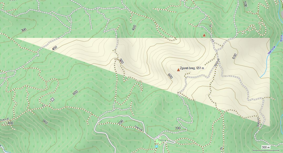
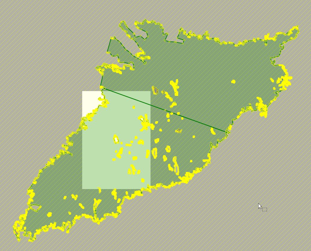
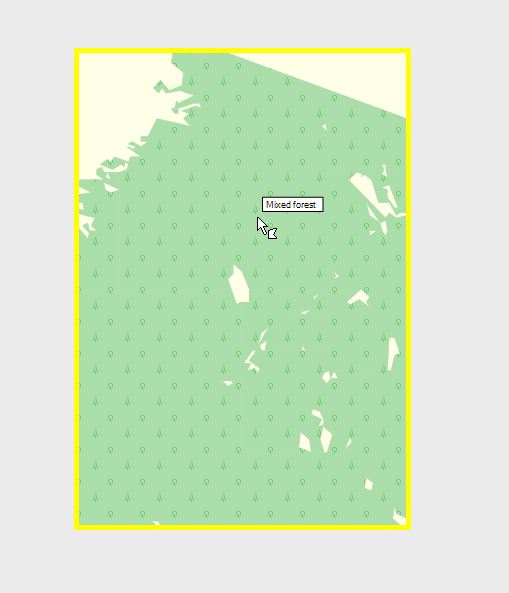
Hi Gerd, Recently I discovered a missing forest "triangle" on my map (see attached screenshots). I am using the same mkgmap/splitter (4551/597) versions as before, but obviously OSM data changed so splitter generated a slightly different areas.list The forest in question consists of two very large multipolygons: https://www.openstreetmap.org/relation/1431438 https://www.openstreetmap.org/relation/4433469 Both relations cover the map-tile area, but mkgmap creates no polygon for the second one. It supose it doesn't get detected in mkgmap because it has no nodes in the area (splitter has no such problem: it detects the multipolygon and includes it in the output file). I am including my test data: - forest.osm.pbf - contains only these two relations (or use croatia-latest.osm.pbf extract from Geofabrik :) - areas-test.list - area in question - forest-typ.txt - simple typ file to display forest (not really needed) test code: java -jar splitter.jar --split-file=areas-test.list forest.osm.pbf java -jar mkgmap.jar -c template.args forest-typ.txt --gmapi --remove-ovm-work-files Splitter includes both relations in the 88010024.osm.pbf, but mkgmap includes only the first one in the generated 88010024.img file. regards, Ranko