
19 Jan
2010
19 Jan
'10
10:27 a.m.
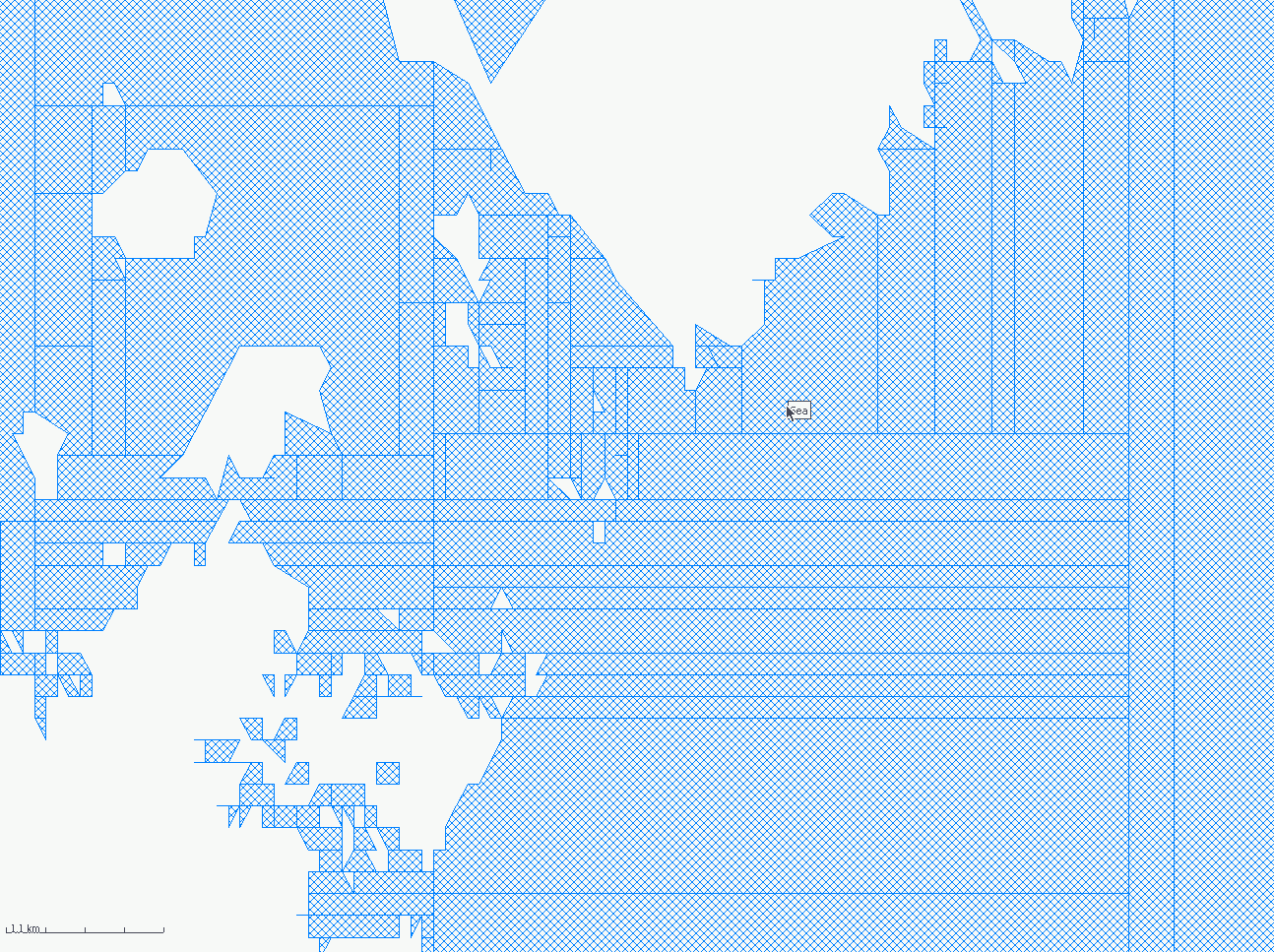
All (or almost all at least) of the lines I see go away when I zoom in. In gpsmapedit, I don't notice any gaps between the polygons at any level. I'll take a closer look tomorrow.
OK here is an image of the sea polygons as seen in mapedit. This is at level 4 (most zoomed out). Does this splitting happen at the generate sea stage or is it being mangled later on? ..Steve