
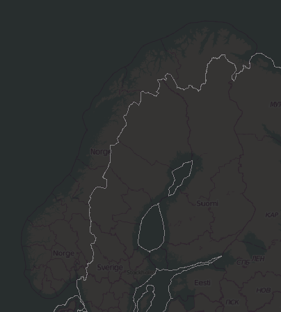
Thanks for the confirmation, Gerd. stopped it, what a re-leaf for the PC... So it really looks like Norway and France have a problem (just quickly looking through Europe)... screenprint of France was attached earlier, here the one for Norway: Thanks also for the additional Info, but with my very limited knowledge I stop here and leave the details up to the specialists... hope at least I was helpful with running the command and providing the screenshots. Patrik On 23.01.2014 22:25, GerdP wrote:
Patrik Brunner wrote
Just to confirm: it doesn't matter that the command is still running ? it did already create the level 2 files, seems to run through the levels by admin level.... I assume it doesn't 'revisit' admin level 2 yes, it goes from level 2 to level 11, so you can stop it. The lower levels take much more time because the algo has to combine a big bunch of small areas, and that takes very long.
If you are interested in a smaller area, you can enable logging and look for the messages that tell you which *.bnd files were loaded when you create a map. You can execute the utility on a selected *.bnd file or you can copy some of them into a directory and scan them there.
Gerd
-- View this message in context: http://gis.19327.n5.nabble.com/boundary-France-broken-tp5794112p5794154.html Sent from the Mkgmap Development mailing list archive at Nabble.com. _______________________________________________ mkgmap-dev mailing list mkgmap-dev@lists.mkgmap.org.uk http://www.mkgmap.org.uk/mailman/listinfo/mkgmap-dev