
10 Jan
2018
10 Jan
'18
8:54 a.m.
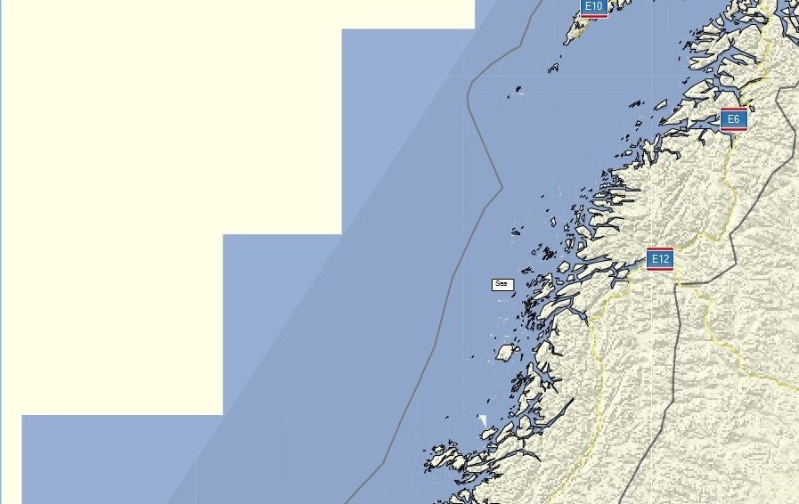
Hi all, I think that the bounding polygon given with option --dem-poly should be also be used in the precomp-sea option, so that mkgmap doesn't generate sea polygons outside of the bounding polygon. With the current code a map of e.g. scandinavia looks strange, see attached picture. In a further step I should try to use that polygon also for the background polygon (0x4B) and other data. In a final step we might be able to use it for routing data so that you can split maps at left-driving / right-driving boundaries, but that needs more thinking. I've not coded anything yet, but I wonder if the option should be changed from dem-poly to e.g. --polygon-file or --bounding-polygon. Gerd