
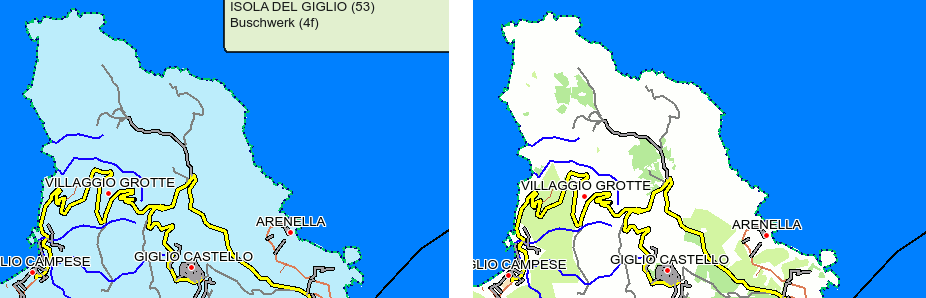
Hi all, I have a (hopefully not too dumb) questing regarding the display of relations with <tag k='place' v='island'/> <tag k='type' v='multipolygon'/> If I simply run 'mkgmap --route --index --code-page=1252 --gmapsupp --tdbfile' on the josm export, the result looks like the left in the attached screen shot (Giglio island, from QLandkarte GT, looks the same in the Garmin). The relation is apparently converted into a Garmin type 0x53 covering the whole island, and hiding all other features. If I copy the default style and just disable (comment out) the 'island' and 'islet' polygons, the result is the right one. However, I feel this is the wrong approach, as now the island's name is not available any more... But what is the correct one? Thanks in advance, Albrecht.