
You need to voidfill the hgt files first On Mon, Apr 10, 2023, 04:38 helter skelter <hskelter@hotmail.com> wrote:
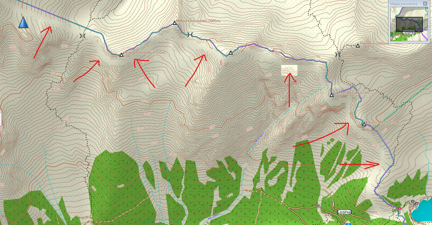
Hello guys I don't know if this is the right place to ask: please forgive me if not and delete my request. I have a problem with contours, generated from DEM HGT files, downloaded both from Nasa and Viewfinder, and tried with different Douglas-Peucker values. I get empty spaces in some areas of the map, close to the state/region border, and squares with no DEM data, as you can see in this picture (this is the north part of Trentino Alto Adige, north of Italy):
I use HGT2OSM and OSMCONVERT to process all HGTs and obtain a single OSM file, the I split it with the Splitter. Then I merge everything in a single IMG file with MKGMAP.
Do you know what could be the reason of this problem and how to solve ?
Thank you in advance for all your help Regards, Diego
_______________________________________________ mkgmap-dev mailing list mkgmap-dev@lists.mkgmap.org.uk https://www.mkgmap.org.uk/mailman/listinfo/mkgmap-dev