
Is that now good or bad ? It's still running on admin_level 5 but I assume that level 2 is finished. BTW: my Windows Java did complain about the option --Xmx6800m I assume it should be a single dash, not doubledash... therefore -Xmx6800m I've just ran it without... Patrik On 23.01.2014 20:23, Gerd Petermann wrote:
Hi Minko,
the boundary relation 2202162 was changed 5 or more times since 2014-01-01.
You can check yourself using a command like this: java --Xmx6800m -cp d:\mkgmap\dist\mkgmap.jar uk.me.parabola.mkgmap.reader.osm.boundary.BoundaryCoverageUtil bounds_20140101.zip > log
This will take a while and produce a directory gpx in the current directory. If you load all the files in gpx\summary\covered\admin_level=2 into e.g. JOSM you should not find holes in France. If you do, something was broken when the bnd files were generated.
Gerd
Date: Thu, 23 Jan 2014 17:55:35 +0100 From: ligfietser@online.nl To: mkgmap-dev@lists.mkgmap.org.uk Subject: [mkgmap-dev] boundary France broken?
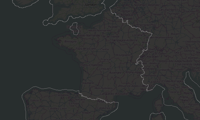
Hi, I found out that the boundary of France in bounds_20140101.zip (http://www.navmaps.eu/boundaries) might be broken. Places in France are not assigned to France anymore. If I use the previous bounds file (bounds_20131101.zip) it works as expected. Can anyone check where the cause is?
_______________________________________________ mkgmap-dev mailing list mkgmap-dev@lists.mkgmap.org.uk http://www.mkgmap.org.uk/mailman/listinfo/mkgmap-dev
_______________________________________________ mkgmap-dev mailing list mkgmap-dev@lists.mkgmap.org.uk http://www.mkgmap.org.uk/mailman/listinfo/mkgmap-dev